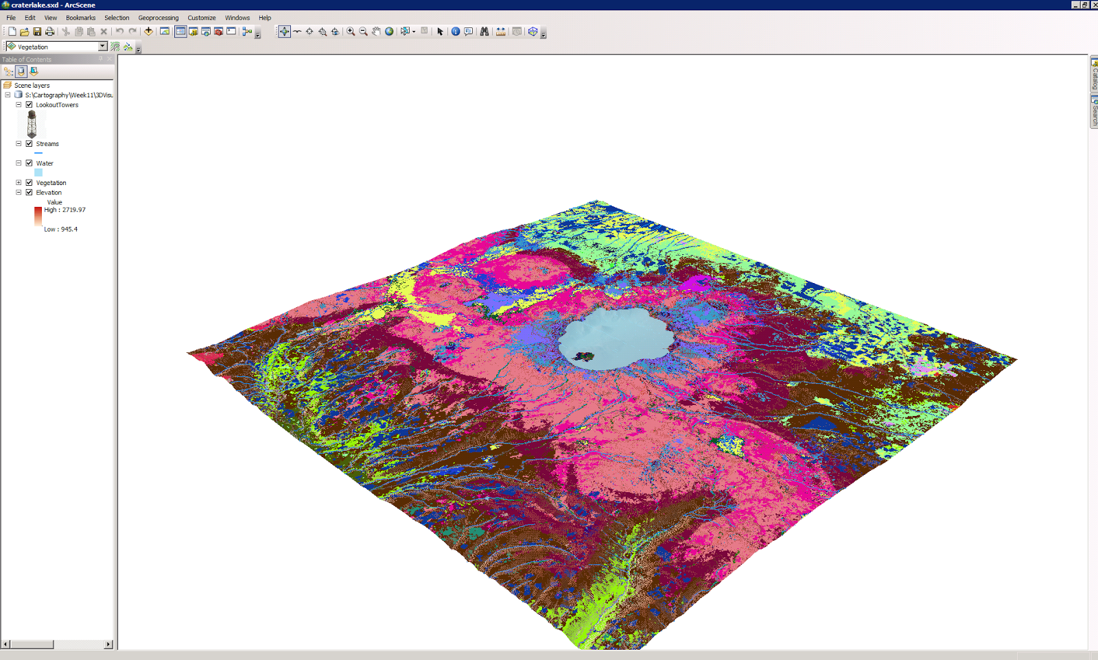
 Map 1 Base Heights
This map uses elevation to show you the land and vegetation around a lake. The 3D map includes vegetation which can make individuals aware of poisonous plants in the area or plants that attract predators that you may want to stay away from. Having visual lands references would probably make it easier for someone to identify these things once they get out into nature.

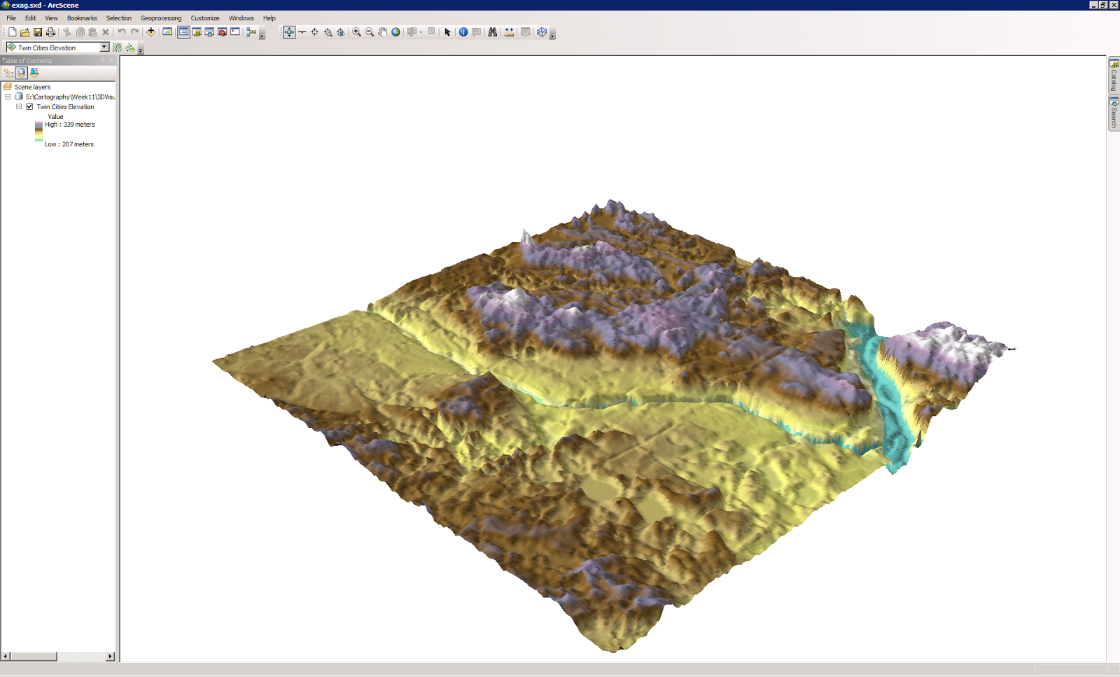
Map 2 Vertical Exaggeration
Base height and vertical exaggeration have similar uses. The details provide and the fact that you can zoom in at very close levels to discuss details are important especially when applied to safety. If this area was a public park it would be helpful in showing hikers areas that are too steep to travel.

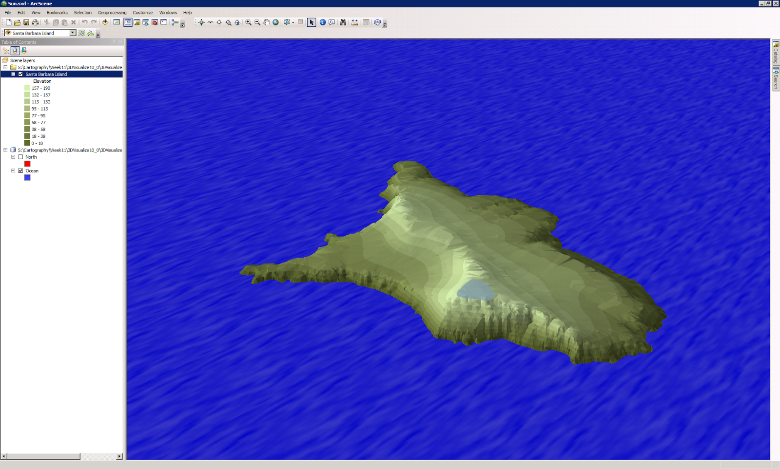
Map 3 Illumination and Background color
The interesting part of this map for me is that the 3D elements of height variation are not as important as the colors effects. The tone of the colors and variations of the color patterns are what makes the image actually look like an island. The software being able to apply the a virtual representation of how the sun effects a real image is what makes this appear to be real. The principles of light are just as important as visual rendering in many presentations.
Map 4 Extrude buildings and wells
This image provides a 3D rendering on a real world image. Allowing for land use and placement on a 3D map versus a miniature model being built and placed in the center office for investors to come by and inspect. Placement of the wells and there depth can be beneficial to city planners and utility providers.
Map 5 Extrude parcel values
Real Estate being a non renewable resource this application is very beneficial to developers, city planning/permits and the local tax authority. Matching monetary values with a geolocation provides the bottom line for most end users, revenue potential.


No comments:
Post a Comment